
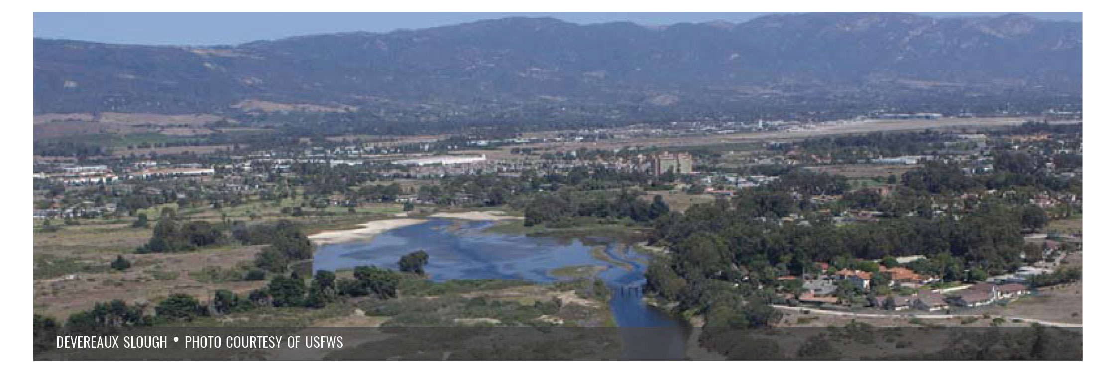
- SCWRP MAPT |
- Wetland-Upland Transition Zone
Wetland-Upland Transition Zone
For detailed information on transition zone management and restoration for enhanced sea level rise resilience, see Guidance for Restoration of Natural and Nature-Based Features in the Wetland-Upland Transition Zone (click to download the PDF).
For detailed information on transition zones and mapping methodology, see Appendix 9 of the Regional Strategy 2018.
The area adjacent to wetlands has many functions and has many different names. The term “buffer” describes the land between landscape stressors and wetlands, and is used in a variety of regulatory contexts. A buffer area is used to protect wetlands from stressors and is not defined in terms of ecological functions and services. For the purposes of this document, the term buffer is used for non-tidal wetlands in Goal 2, whereas three additional terms are used to describe the areas adjacent to tidal wetlands (figure below). The wetland-upland transition zone includes non-tidal habitats adjacent to the coastal wetland edge, up to 1,600 feet (500 m) wide, that encompass the ecosystem functions and services associated with the wetlands, and can include habitats such as alkali wetlands, riparian areas, coastal sage scrub, and many other upland habitats. Similarly, the wetland-upland ecotone is a narrow band of habitat where wetlands
and uplands meet, and contains vegetation types from both habitats (figure below).
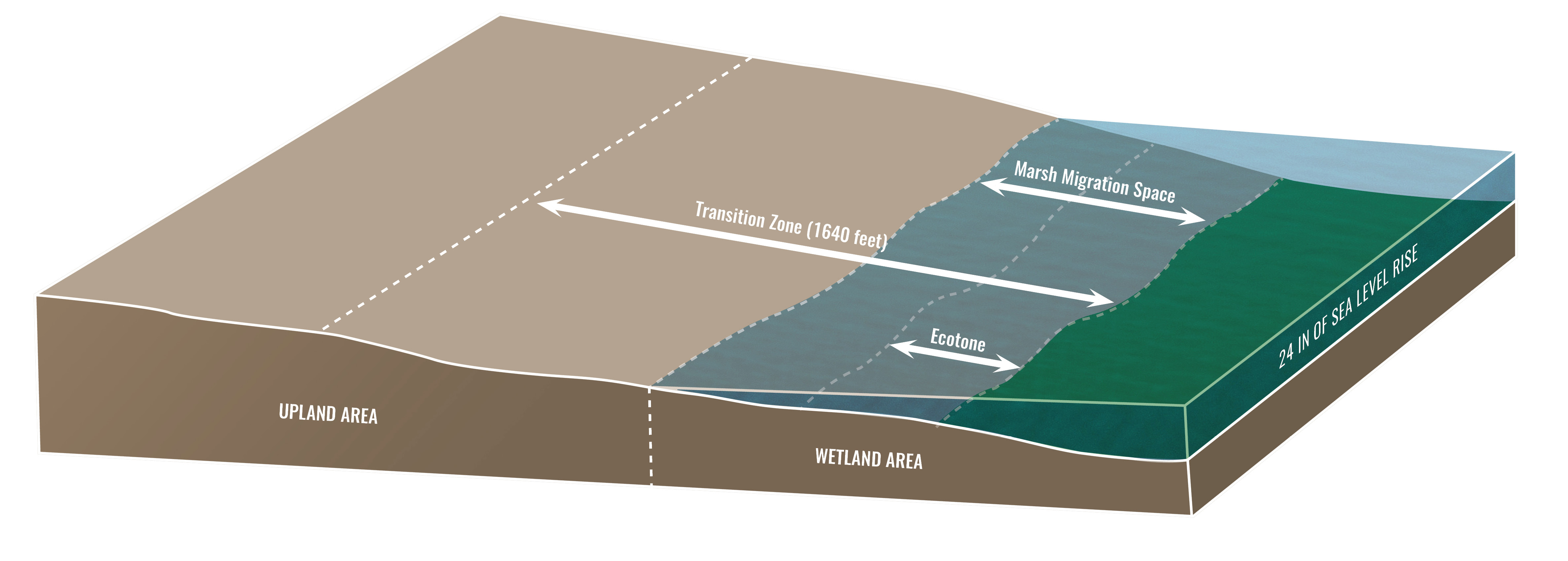
The ecotone boundaries are set by factors such as soil salinity and moisture (Callaway et al. 1990; James and Zedler 2000). The sea-level rise migration zone is a particular zone, identified by land elevation, that will accommodate the wetland’s upslope movement as sea-levels rise. The wetland-upland transition zone includes both the narrow ecotone and sea-level rise migration zone, as well as further inland adjacent habitats (see above figure). The transition zone provides important refuge for marsh wildlife, and allows upland wildlife to access the marsh for food and other resources. These areas support gradients in environmental variables such as salinity, soil moisture, and temperature that can be important to supporting adaptation within wildlife populations, and can also support unique habitat types (e.g. alkali wetlands, salt pannes) that further contribute to landscape complexity.

Much of the historical transition zone habitat in California has been lost due to competing land uses along the shoreline. Accelerating sea-level rise increases the challenge of supporting transition zone habitats, and ecosystem services associated with transition zones, especially in heavily developed areas. Protection and restoration of the wetland-upland transition zones are critically important if tidal wetlands and their functions are going to persist.
The transition zone varies by location. Gradual hillslope transitions provide opportunities to support wide habitat gradients, biological diversity, and landscape complexity. Extending the upper boundary for potential transition zone 1,600 feet (500 m) from the lower boundary of the transition zone captures the majority of these biological diversity support functions. For cliff and bluff transition zones, the area at the top of the bluff is unlikely to provide the same flood control, habitat gradient, and movement corridor benefits as hillslope transition zones. Riverine transition zones transition between fluvial and tidal processes and conditions and are important for floodwater storage and retention, as well as supporting a unique assemblage of plant and wildlife species.
Land use is a major consideration in determining what can be done within the transition zone. Although many developed areas are unlikely to be considered for potential restoration, these areas may still support transition zone functions in other ways. For example, some land uses in developed areas (e.g., vacant lots, golf courses) may still provide some buffering functions. Actions taken in developed areas within this boundary can support wildlife movement (e.g., removal of barriers and planting of native vegetation in yards), and affect flood control (e.g., rain gardens and bioswales).
Click the icon below to see current and future transition zone area in Southern California.
![]()
Transition Zone Guidance (click to download the PDF)
This guidance document was developed through a NOAA Ecological
Effects of Sea Level Rise (EESLR) grant program called “Marshes on the
Margins.” Three tasks were identified: (1) to provide criteria to map
wetland-upland transition zones; (2) to map transition zones in the
Southern California Bight; and, (3) to provide guidance on their
management. This guidance document expands upon the recommendations in
the WRP’s Regional Strategy (2018).